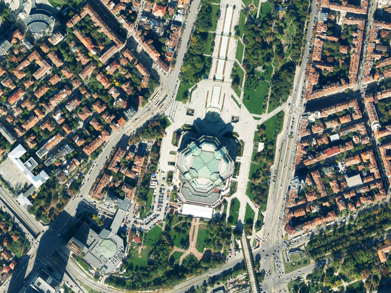
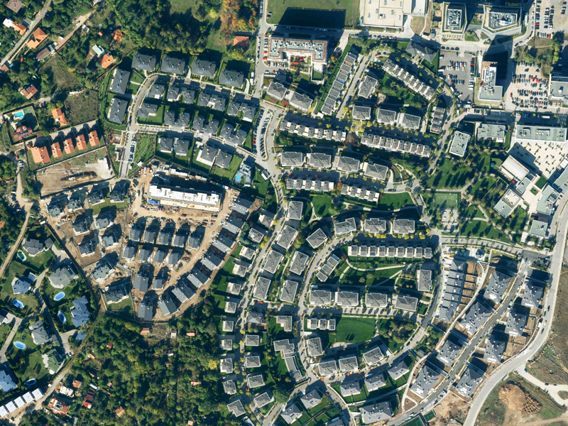
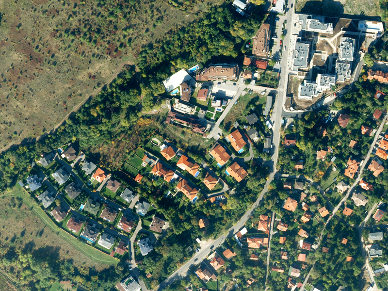
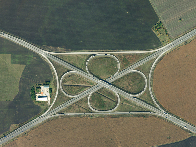
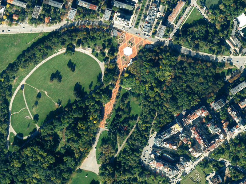
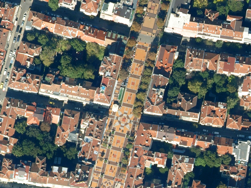
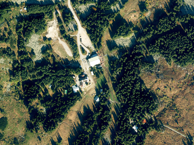
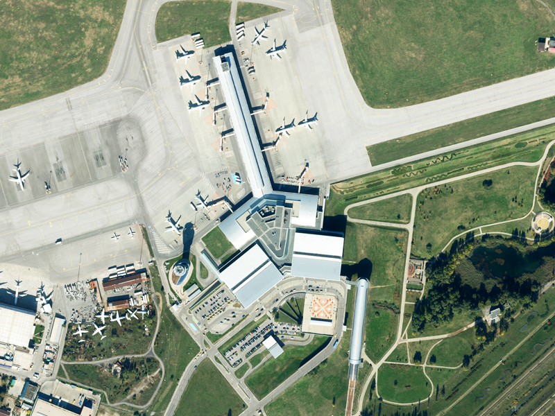
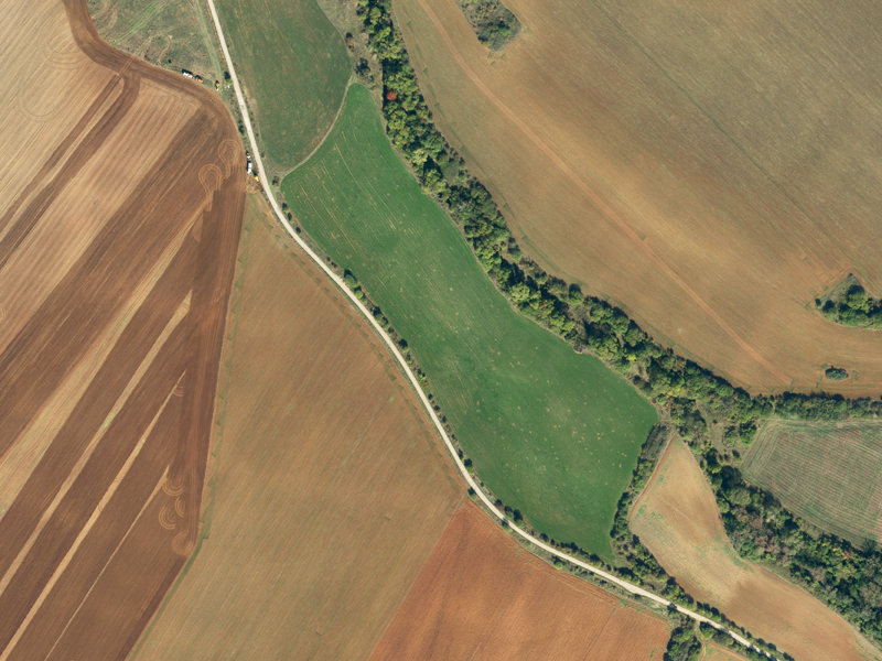
GIS-Sofia Ltd. has successfully completed the activities for the implementation of the project "Aerial photography for the territory of Sofia Municipality and the development of a new orthophoto plan.
The project was implemented in partnership with Georeal AD - Pilsen, Czech Republic, participant in the consortium "GEOREAL - SOFIA-2020". The shooting was carried out in October 2020, with an aircraft equipped with a specialized photogrammetric digital camera. The covered area is 1961 sq. Km. and includes the entire territory of Sofia Municipality.
As a result of the aerial survey, GIS - Sofia received and processed 2706 aerial photographs in digital form, with a pixel size on the ground of 10 sm for the urban part and 15 sm for the suburban part. The developed orthophoto plan is in the process of integration in the information system of the cadastral, regulatory and construction plans for the territory of Sofia Municipality - SOFCAR, as well as in the web-based application www.isofmap.bg.