Surveying
Composite plans
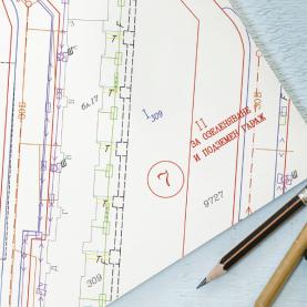
At GIS-Sofia we offer various types of composite plans. According to the specific needs the composite plans include different information layers. If necessary, data from geodetic measurements and setting out of plans is used.
Composite plans for complete or partial identicality will serve to verify the change of boundaries and the size of the particular property by combining information from different issues of the cadastre with data from plans for regulation (urban planning), auxiliary plans, a map of property with reinstated ownership, orthophoto imagies and others.
Composite plans also serve as planning permit site plans, when performing expropriation, when reinstating ownership of former agricultural lands within urban areas.
Upon your request we can also provide an identicality certificate which is a detailed text description of the findings from the plans.


