Surveying
Provision of data
We provide information to professional users and private individuals for different situations and interests as regards properties.
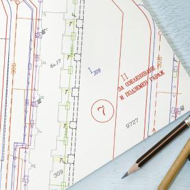
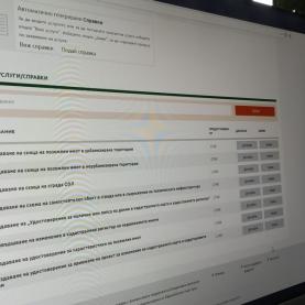
At GIS-Sofia we have built a comprehensive geographic information system of Sofia Municipality in which we daily maintain specialized information on the current and the old cadastre, spatial development plans, agricultural lands, details on street names, addresses, topography, advertising installations, thermal springs, postcodes, polling stations and others. For each of the supported data layers, the system allows retrieval data in the form of reports, plans, copies. Depending on your specific needs and requirements the information can be provided in digital format or on paper.
You can use our data as background information in the preparation of various site plans and projects to verify the actual condition, to monitor the changes over time and analyze the circumstances associated with spatially fixed sites.


