Administrative maps
GIS-Sofia offers a wide variety of administrative maps for the territory of Sofia and Sofia Municipality.
The administrative maps vary in scale of 1:3 000 to 1:60 000, depending on your specific goals and needs.
The maps have an up-to-date content for: street network, railroads, address numbers, numbers of apartment buildings, residential, public and industrial areas, parks and gardens, names of neighborhoods and residential complexes, boundaries and names of areas, hydrography - rivers, lakes, dams with their names, forests and more.
 |
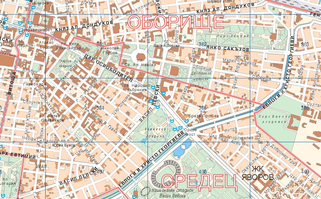
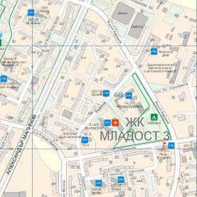
Administrative map of Sofia
М 1:10 000, М 1:12 000
A wall map of Sofia, laminated, with wooden strips. The map contains information about:
- public buildings and apartment blocks
- names of streets and boulevards
- address numbers
- names of neighborhoods and housing complexes
- boundaries and names of areas
Size: 1,80 х 1,80 m
|
|
|
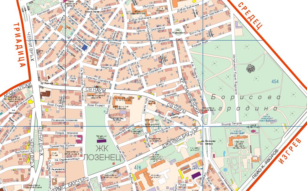
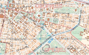
Administrative map of Sofia
М 1:20 000
A wall map of Sofia, laminated, with wooden strips. The map contains information about public buildings and apartment blocks, names of streets and boulevards, boundaries and names of areas.
Size: 0,91 х 1,00 m
|
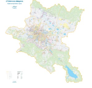 |
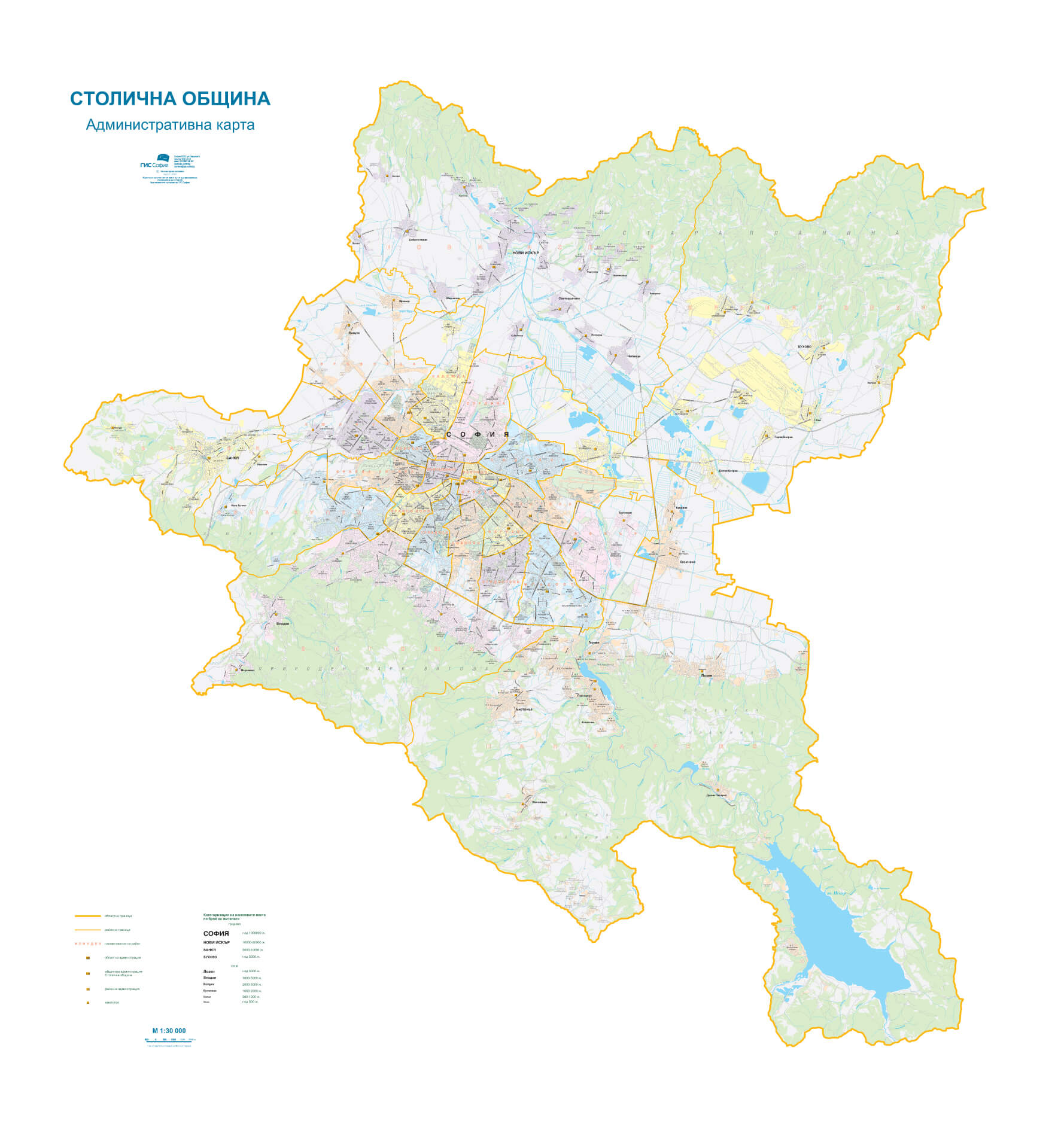
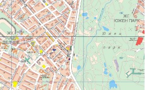
Administrative map of Sofia Municipality
М 1:30 000, 1:60 000
A wall map of Sofia, laminated, with wooden strips. The map contains information about:
- boundaries and names of administrative areas
- names of neighborhoods and housing complexes
- locations of local municipal offices, district, municipal and regional administration
- names of all villages by number of inhabitants
- names of parks and gardens
- names of main streets and boulevards
|
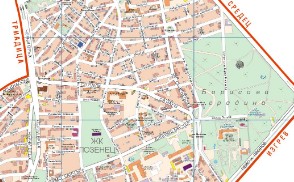 |
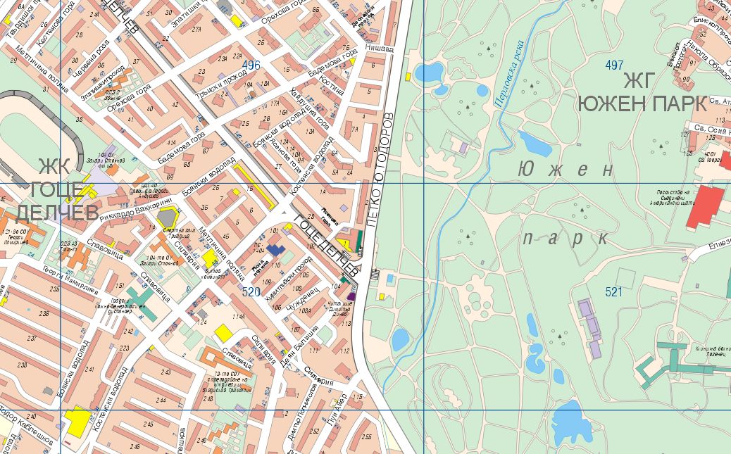
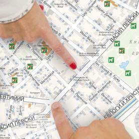
Administrative map of an area
The map is offered for each of the 24 districts of Sofia Municipality, and contains information about:
- numbers of cadastral sheets
- buildings of functional purpose
- boundaries and names of neighborhoods according to regulation
- address numbers
- names of streets, boulevards and squares
- names of districts and housing complexes
|