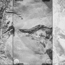
Processing aerophoto and satellite imagery
Stereo mapping of situation and relief
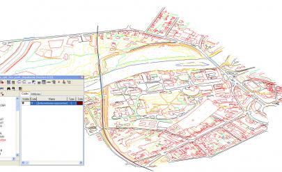
Stereo and mono mapping is extracting vector information about a territory covered by the aerial and satellite images. The method is effective for large areas, as it saves a lot of direct geodetic measurements.
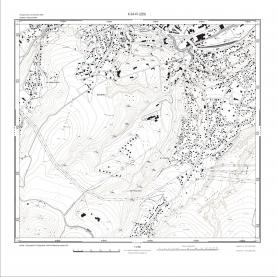
In stereo mode is monitored and plotted a number of specialized data - relief, supporting and reinforcing walls, overhead distribution lines and facilities, water currents and water areas, areas with perennial plants and more. The output information is stored in layers. During the process of stereo mapping attribute information can also be added through prebuilt code tables.
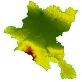
In stereo processing of aerial images metric characteristics of the sites can be defined in addition: terrain, landforms (pits, ravines, etc.) and vegetation (height, type), as well as the width of roads, rivers, streams, etc.
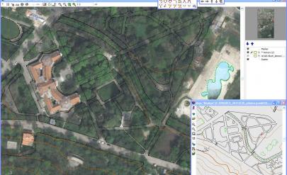
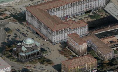
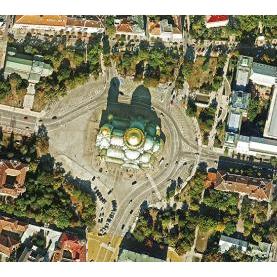
The vector information of stereo mapping finds an application in the three-dimensional (3D) modeling of the urban environment. GIS-Sofia Ltd. can visualize your property and its pertaining buildings, the buildings in the neighborhood or an area of your choice from the available aerial imagery.
Three-dimensional information diverse in detail:
- The buildings are presented as separate "boxes"
- Each building has a separately plotted roof
- The roof is drawn in the smallest detail
- Covering the façades with photos (texturing).
"GIS - Sofia" Ltd. successfully makes digital large-scale topographic maps (LSTM) and specialized maps which meet modern standards and technologies.
The method of creating and updating LSTMs and specialized maps is a combination of remote digital technologies, topographic surveying methods and techniques, and additional sources of information. The used technologies allow for the improvement of the quality of digital LSTMs and specialized maps, by significantly lowering the cost and reducing the time needed for their creation (update).
Services of the same category