Processing aerophoto and satellite imagery
PHOTOMOD
GIS-Sofia is the official distributor of the Russian photogrammetric software PHOTOMOD in Bulgaria since 2006. The software was developed by the Russian company RACURS.
PHOTOMOD is a software for digital photogrammetric processing of data obtained through remote sensing methods. The software allows for the extraction of geometrically accurate spatial information from images taken with analog or digital cameras, satellites with a high-resolution or radars.
The flexible configuration and the successfully developed modules turn PHOTOMOD in a complete digital photogrammetric workstation which provides a high productivity in the implementation of major projects.
The program allows:
- Processing of aerial and satellite imager
- Aero-triangulatio
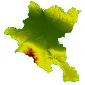
- Generation of a digital terrain mode
- Stereo mapping of setting and relief
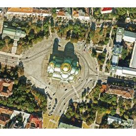
- Creation of orthophoto maps and orthophotoplan
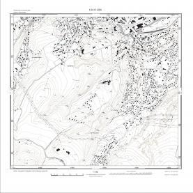
- Creation of digital map
- Creation of a 3D model


